Determine the condition of aging infrastructure by using drones to access difficult-to-reach locations, and gather the data you need both safely and efficiently..
Types of Inspection: Petrochemical Structures, Bridge, Building, Dam, Distribution Network, Telecom, Pipeline, Right-of-Way, Solar Farm, Tower, Transmission & Distribution Lines, Wind Farm, and more.
Whether you are looking for someone to carry out regular inspections of your assets, take aerial photographs or create a detailed map of an area, we have the experience and expertise to get the job done.
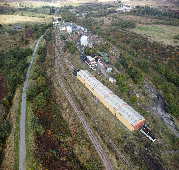
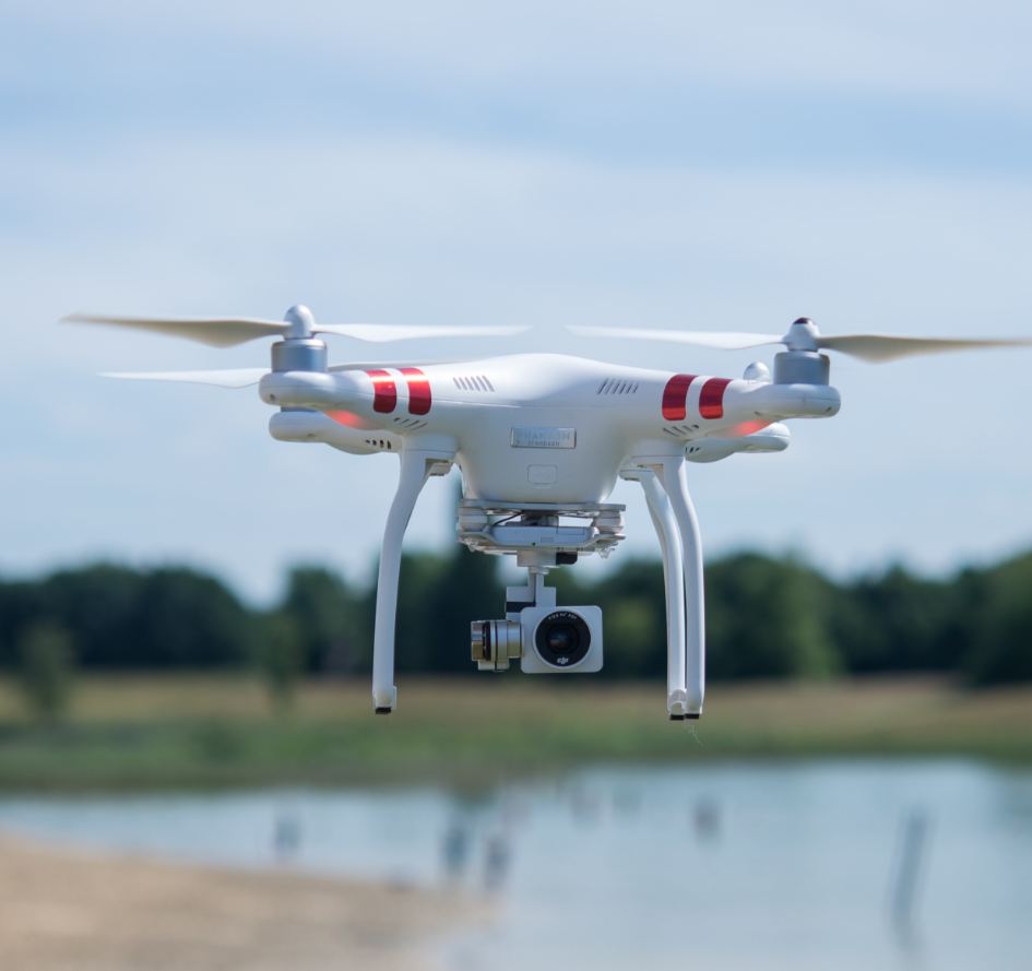
Drone services are transforming visual inspections to critical industrial infrastructure. Drones or unmanned aerial vehicles can be used wherever visual inspections and surveys are required as part of routine industrial maintenance or monitoring of remote sites.

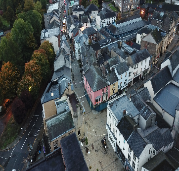
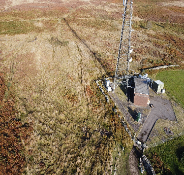
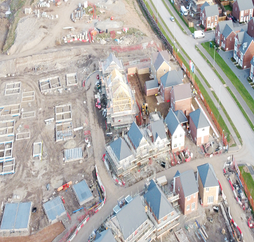
By flying over the sites, the company can provide a detailed map of the area and the objects that are located within it. This information can then be used to help businesses and individuals make better decisions about looking for potential investments and locations. Additionally, drone surveying companies can help to improve safety when exploring dangerous or sensitive areas.
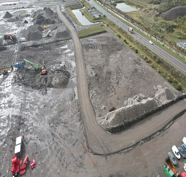
Whether you need a topographical survey, construction site survey, land survey, or any other type of aerial inspection, we have the expertise and technology to deliver results that meet your needs.
A drone surveying company is a business that specializes in providing contracted flying services to hobbyists and small businesses in order to collect data about land, airports, and other infrastructure.
By flying over the sites, the company can provide a detailed map of the area and the objects that are located within it. This information can then be used to help businesses and individuals make better decisions about looking for potential investments and locations. Additionally, drone surveying companies can help to improve safety when exploring dangerous or sensitive areas.
Start a ProjectWhether you need a topographical survey, construction site survey, land survey, or any other type of aerial inspection, we have the expertise and technology to deliver results that meet your needs.
Contact us today to learn more about how we can help you with your drone survey needs. Our team of experts is ready to answer any questions you may have and to provide you with a free, no-obligation quote for our services.
Whether you need a topographical survey, construction site survey, land survey, or any other.
"Drone survey, Aerial survey, UAV survey, Drone inspection, Aerial inspection, Aerial data collection, Site survey, Construction site survey, Roof inspection, Power line inspection, Wind turbine inspection, Tower inspection, Environmental survey, surface Pipeline inspection, Agriculture survey, Infrastructure drone inspection, UAV inspection.
Looking for a drone surveying company that can help you get a complete view of your property? Look no further than Drone-Views Aerial Surveying
"At Drone-Views Survey Company, we understand the importance of reliable data in decision-making. Our team of experienced drone pilots and surveyors use state-of-the-art equipment to collect and process data.
Welcome to Drone-Views Aerial Drone Survey Company! We are a leading provider of drone-based aerial survey and inspection services
Aerial Mapping and Surveying.